 Trail maps and GPS options are a topic that frequently comes up in our group. Ideally everyone on a hike should be watching the trail, carry a trail map, and know their approximate location along the way. Even the best navigators can get off course, and if the rest of the group is just following the boots in front of them they won’t be much help.
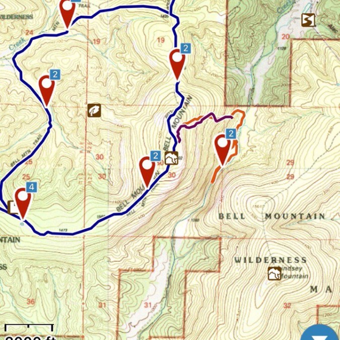
The topography of the midwest does not generally lend itself to reliable navigation using only a map and compass if you are lost. There is often not a landmark available to orient from. This is where GPS comes in…
To save some typing the below is a copy / paste from http://andrewskurka.com/blog/ . Andrew Skurka is an expert adventurer, most well known for his solo long-distance backpacking trips. His blog is a wealth of information on all things backpacking.
Skurka: My preferred GPS unit is my smartphone, not a conventional handheld device like the Garmin eTrex 30 GPS. With a mapping app like GaiaGPS (my pick), BackCountry Navigator TOPO GPS, or Backpacker GPS Trails Pro, my smartphone offers all the features you’d expect of a standalone GPS unit like location identification, waypoint marking, point-to-point navigation, and route tracking.
But a smartphone GPS is even better:
- No extra weight, since I never leave my phone in my car at a trailhead;
- Little additional expense, since I already own the phone and just need software;
- A bright and super high-resolution 5-inch touchscreen;
- Access to topographic map and imagery layers that are far superior to the primitive proprietary layers found on handhelds; and,
- A huge amount of internal memory so that I can download maps along my route plus adjacent maps, in the event that I get off my printed detailed maps due to a detour or unplanned exit.
The only drawback of using a smartphone as a GPS unit is its inferior battery life. If left in airplane mode and used only occasionally, I can do a one-week trip without needing a recharge. But if used more regularly, for a mid-trip charge I must bring my Anker PowerCore+ mini Portable Charger plus the mini USB charging cable.
Since I’m a Skurka fanboy GaiaGPS ( https://www.gaiagps.com/ ) is also my app of choice. The app is a one-time cost of $20. They also have an optional paid annual service with more features (haven’t tried it). It looks like a lot of the functionality already freely available at https://caltopo.com .
Your smartphone has two separate services. Cellular service for making phone calls and accessing the internet when wifi is not available; and GPS. Many of the areas we hike in have intermittent or no cellular service. But 99% of the time GPS will still work fine.
Because you can’t rely on cellular service you must download a map of the area you will be hiking BEFORE you go out. Then you’ll even be able to put your phone in airplane mode (save power), and still see your location via GPS service on the map.
Instructions for how to do this on GaiaGPS:
Using GPS to pinpoint your exact location on a map and comparing it to your trail map should get you out of any issues. But if you want to go one step further, you can actually pre-download a GPS track of the trail you’re hiking onto the map.
What you are looking for is a GPS track file in .gpx, .kml or .kmz format. These files are often publicly available online at hiking related websites. Google search the trail you are hiking + gps / gpx… I’ll also start posting them on our Meetup events.
To get the file on my phone I normally email it to myself from a desktop computer. Then when I click to download/open the file on my phone there is an option to “open” it in GaiaGPS. At that point it will import the track. (There is probably an easier way that I’m not able to figure out thus far)
You can also record your own tracks with the app. It does take a bit more battery while recording so take that into account. I’ll often start recording a track to monitor my progress back to the trail I lost. Or to save/share a trail I could not find a .gpx file for online.
For more advance functionality and using GPS to navigate off trail check out this article.
