County: Iron County, Missouri
Nearest City: Arcadia
Trailhead: 37.5487, -90.6797
Distance from downtown STL: 1 hour 45 minutes / 95 miles
Trail Length: 2.2 miles
Trail Format: Loop
Land Management: Ketcherside Mountain Conservation Area
Camping: Primitive dispersed camping
Shut-ins Location: 37.5417, -90.6827
Watershed: Black River
Trail Maps:
8.5 x 11 PDF
8.5 x 11 JPG
GPS Track: (How to use GPS on your phone)
Royal Gorge GPX

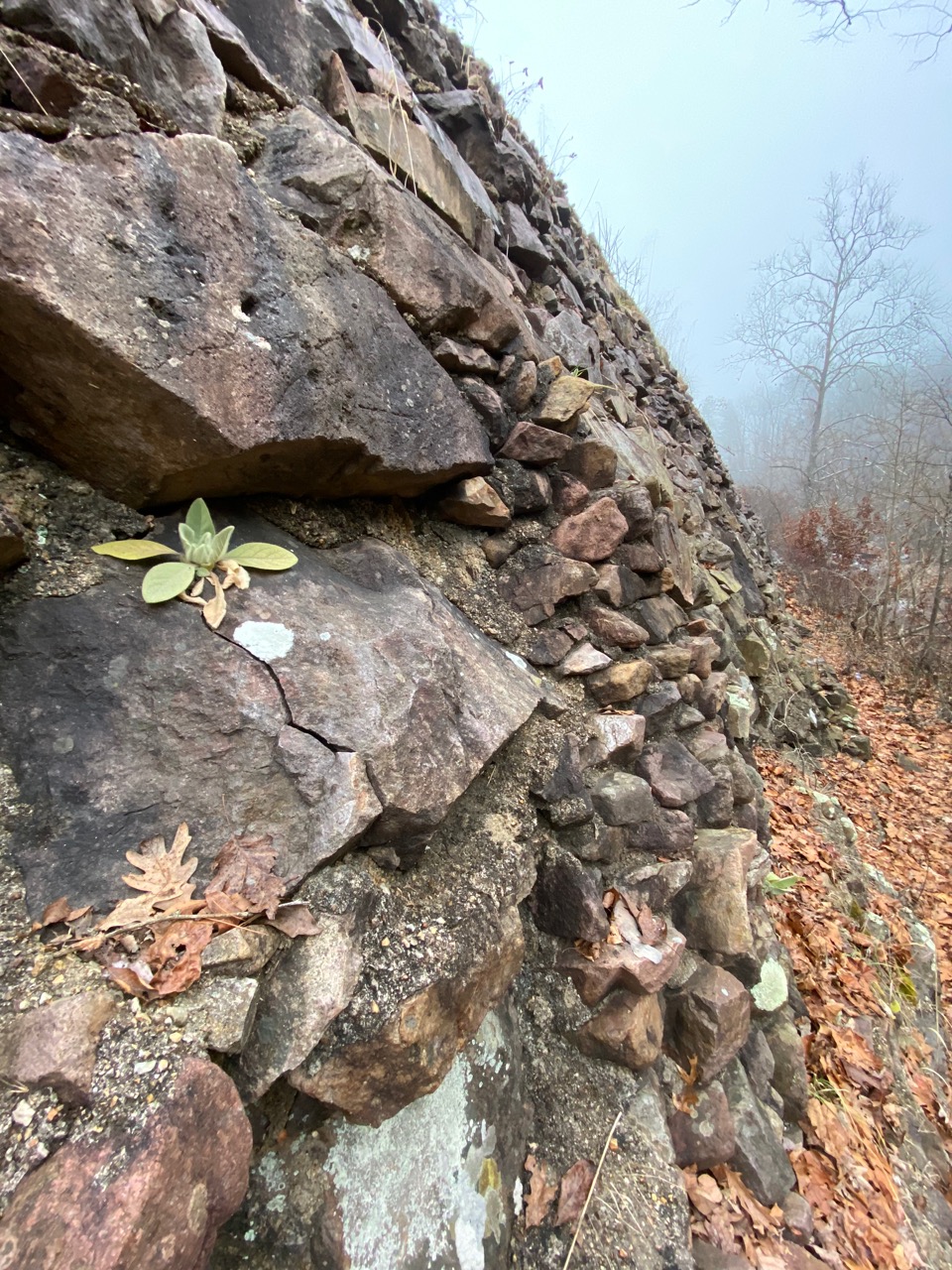
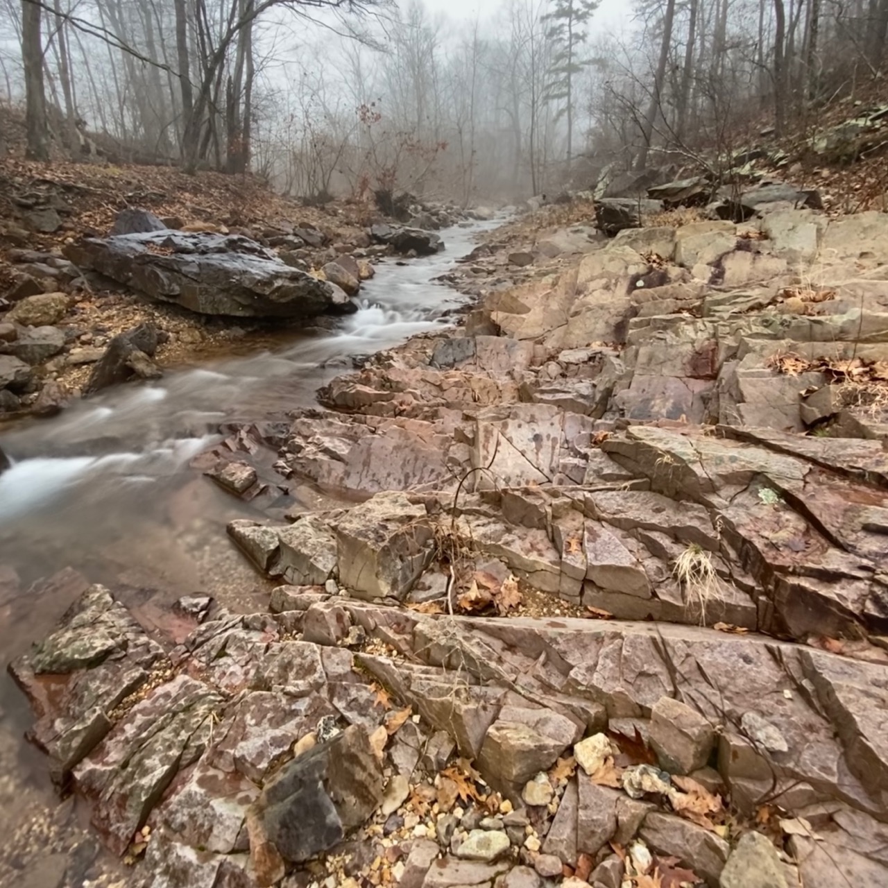
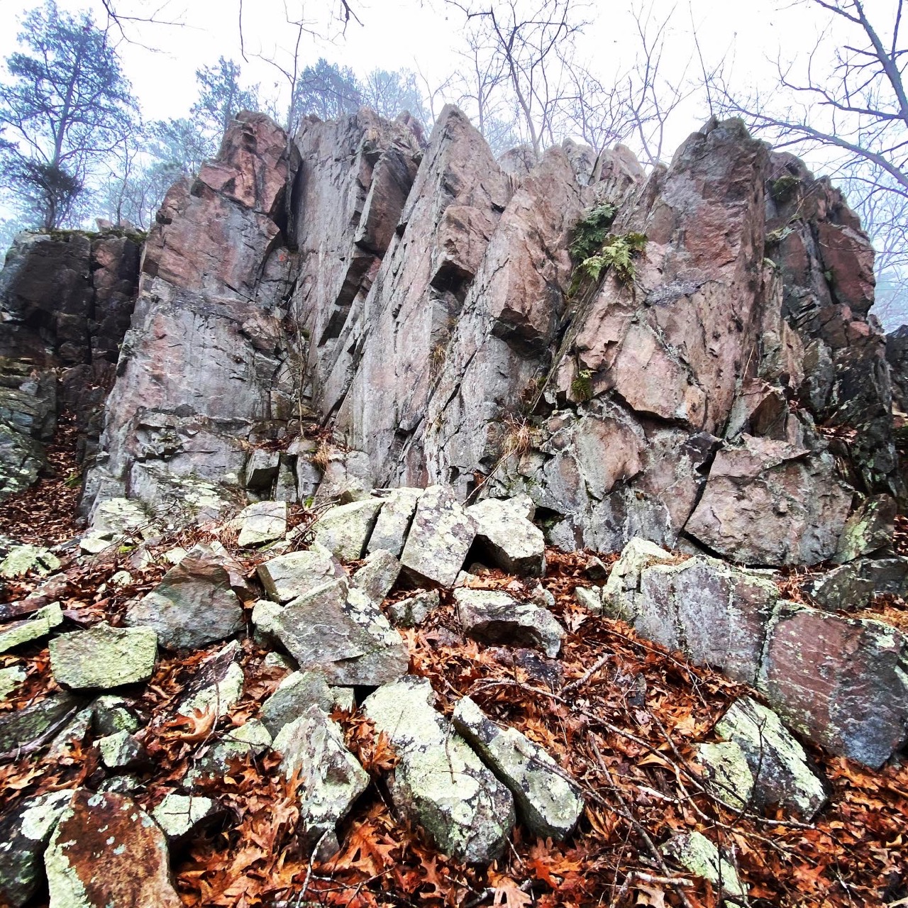
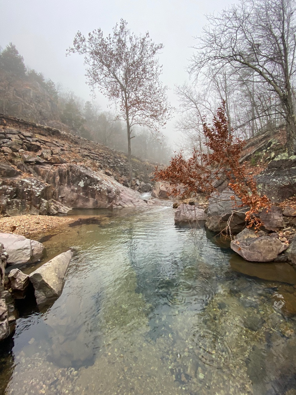
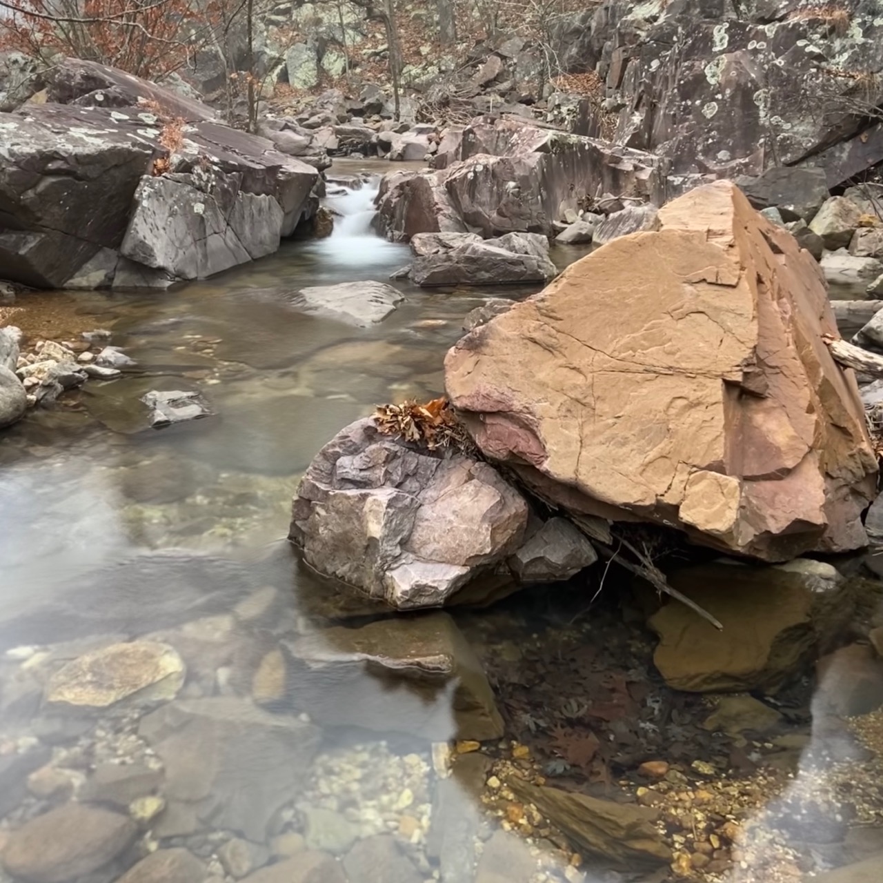
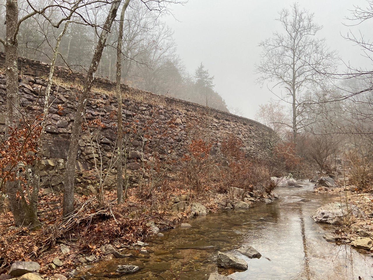

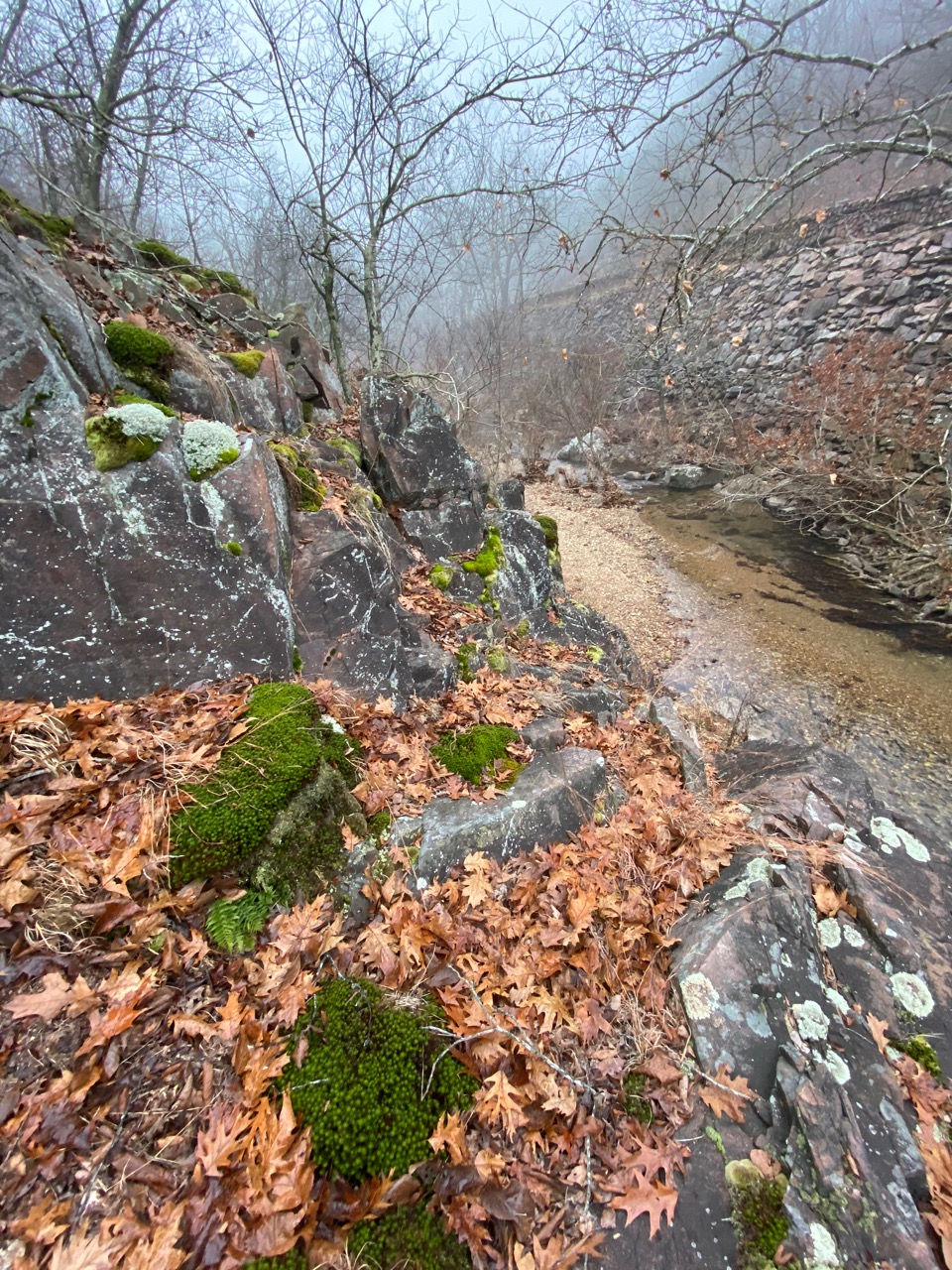
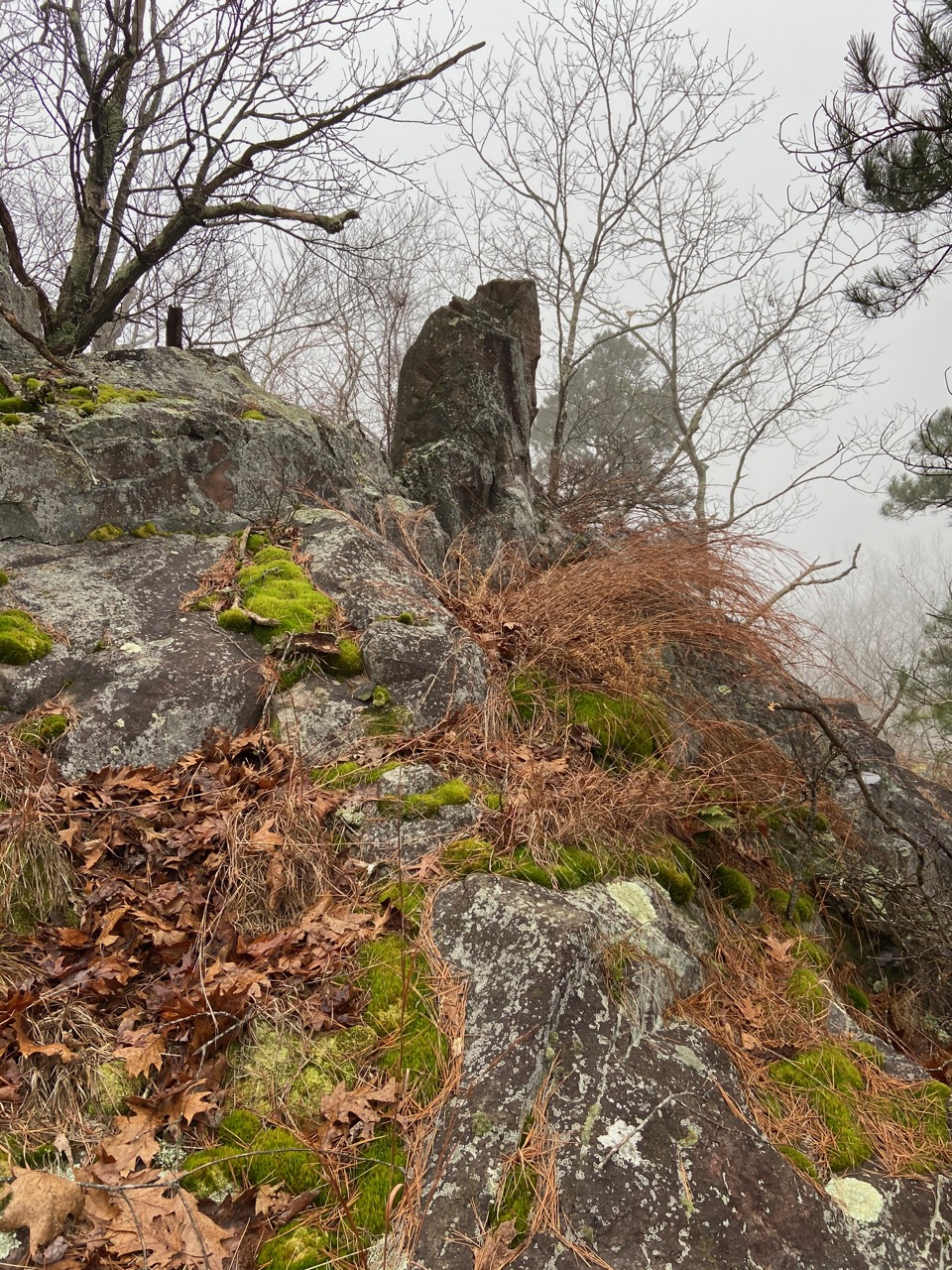
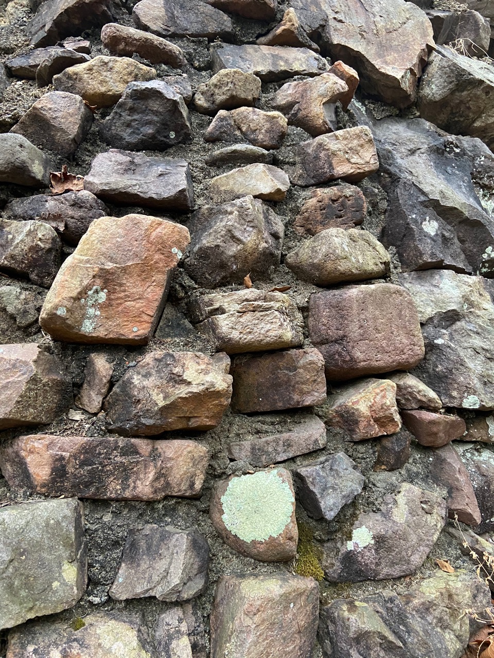
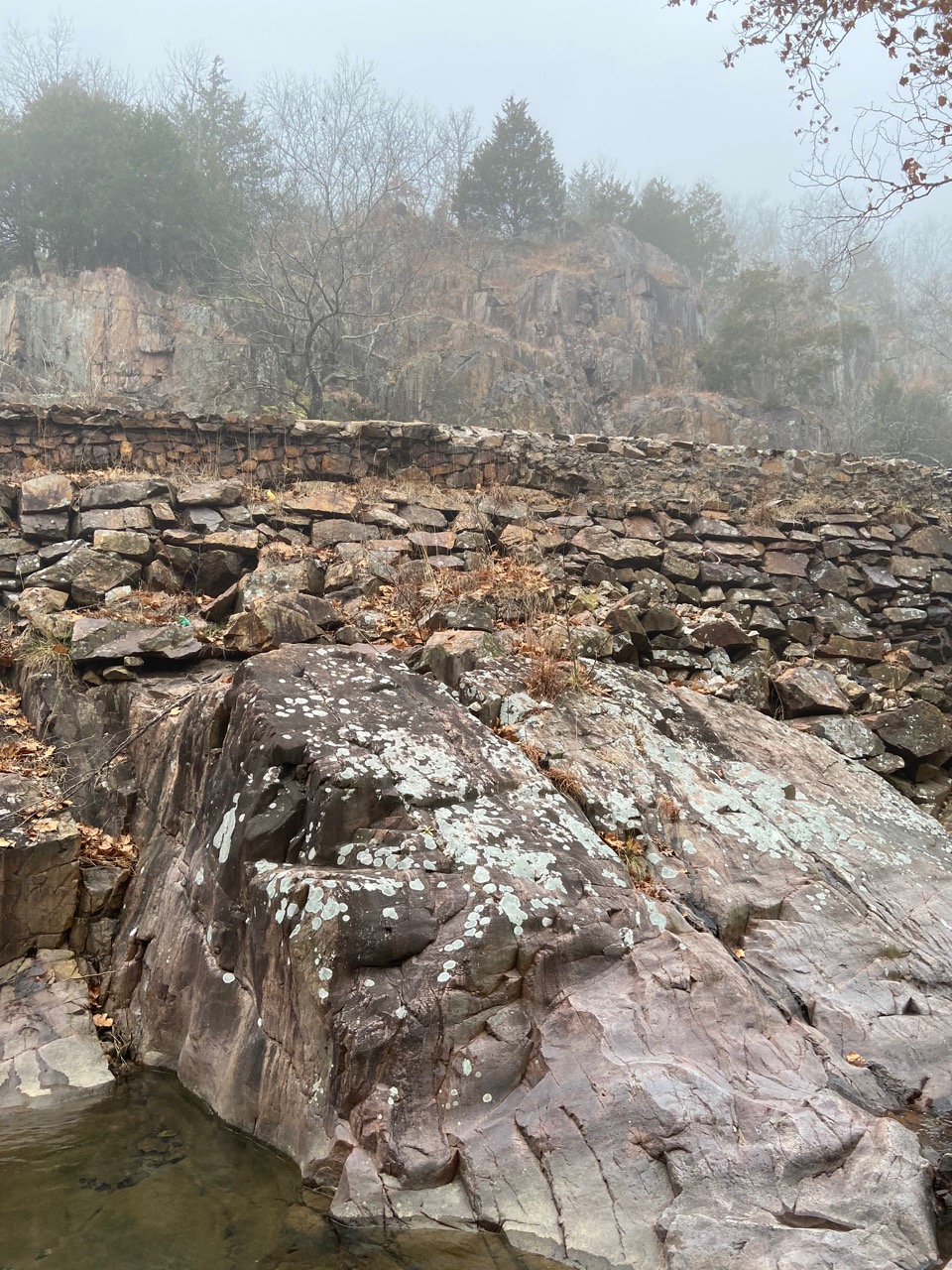
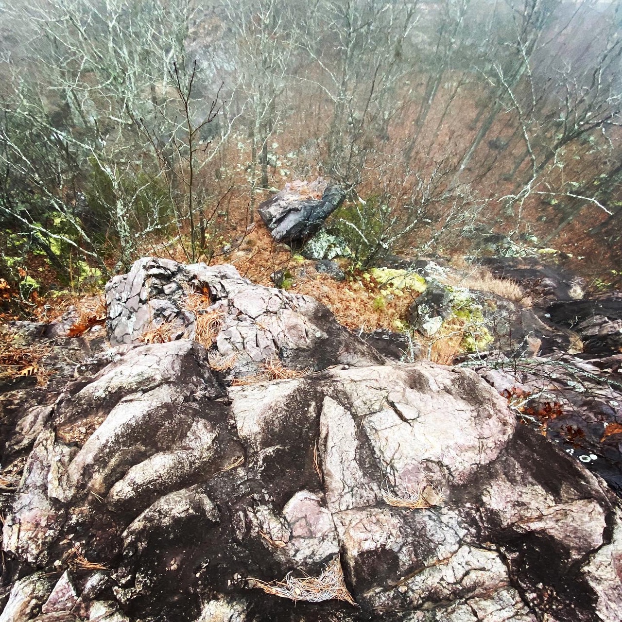
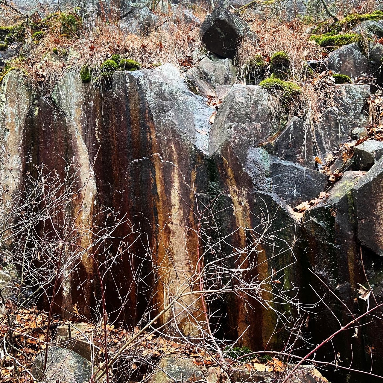
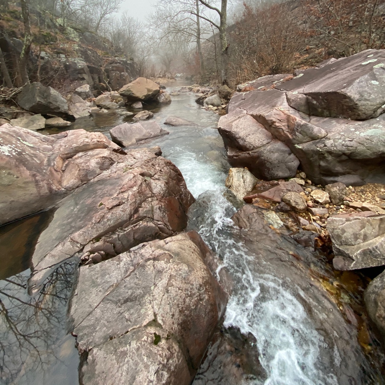
South of Arcadia and only a few miles from the highest point in Missouri, Royal Gorge sits just off the side of the road. Its history is both ancient, on the order of 1.5 billion years old volcanic rock — and more recent, with a giant stone and mortar wall constructed during the Great Depression which still supports the roadway. Designated a natural area in 1973, the shut-ins and towering rhyolite outcroppings above Minor Creek are magnificent.
Parking upstream of the shut-in is on the west side of the highway for the Taum Sauk section of the Ozark Trail. This parking lot is also the trailhead for the 2 mile Royal Gorge Natural Area Trail which starts on the opposite side of the road. There is another parking area downstream of the shut-ins in a large stand of pines planted by local Boy Scouts in the late 1950s.
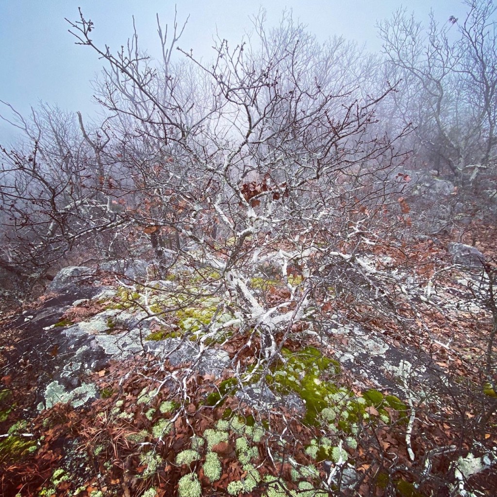
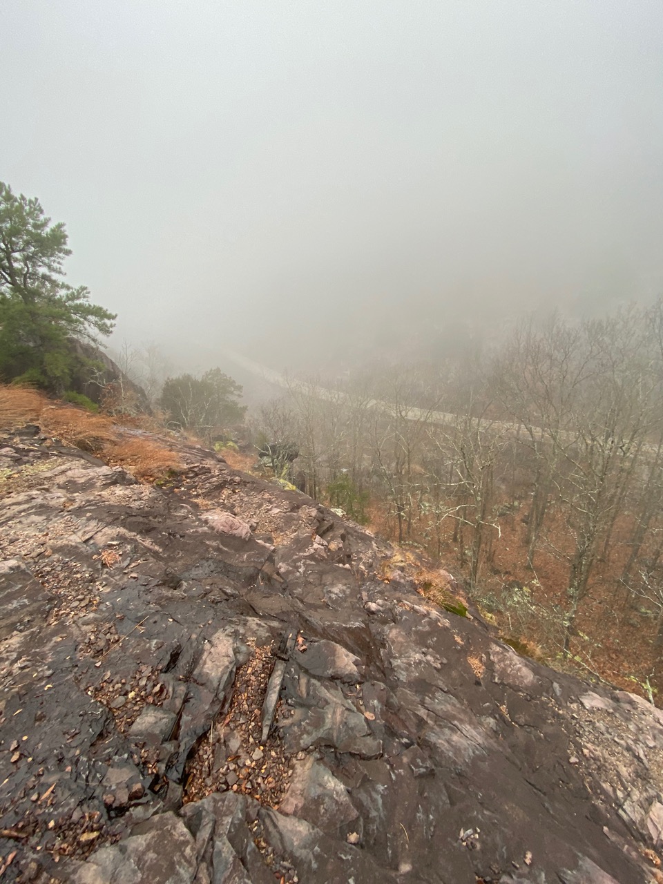
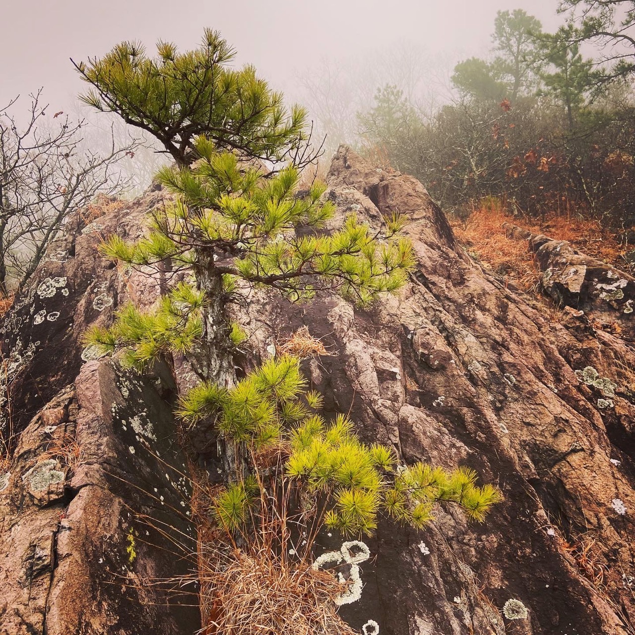
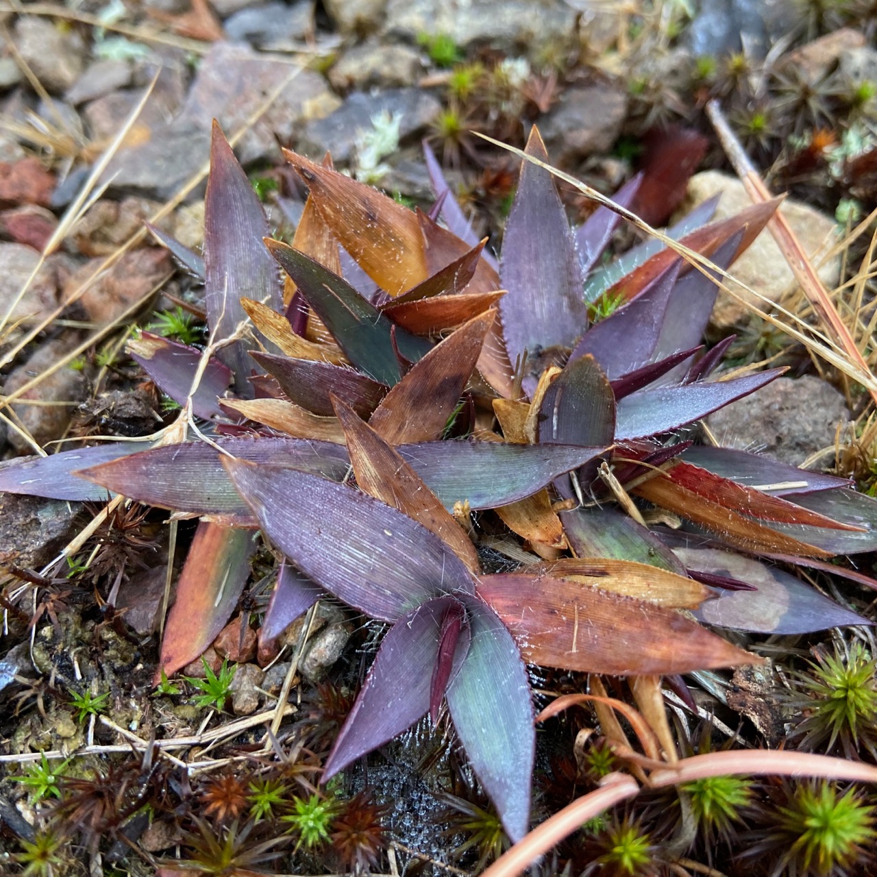
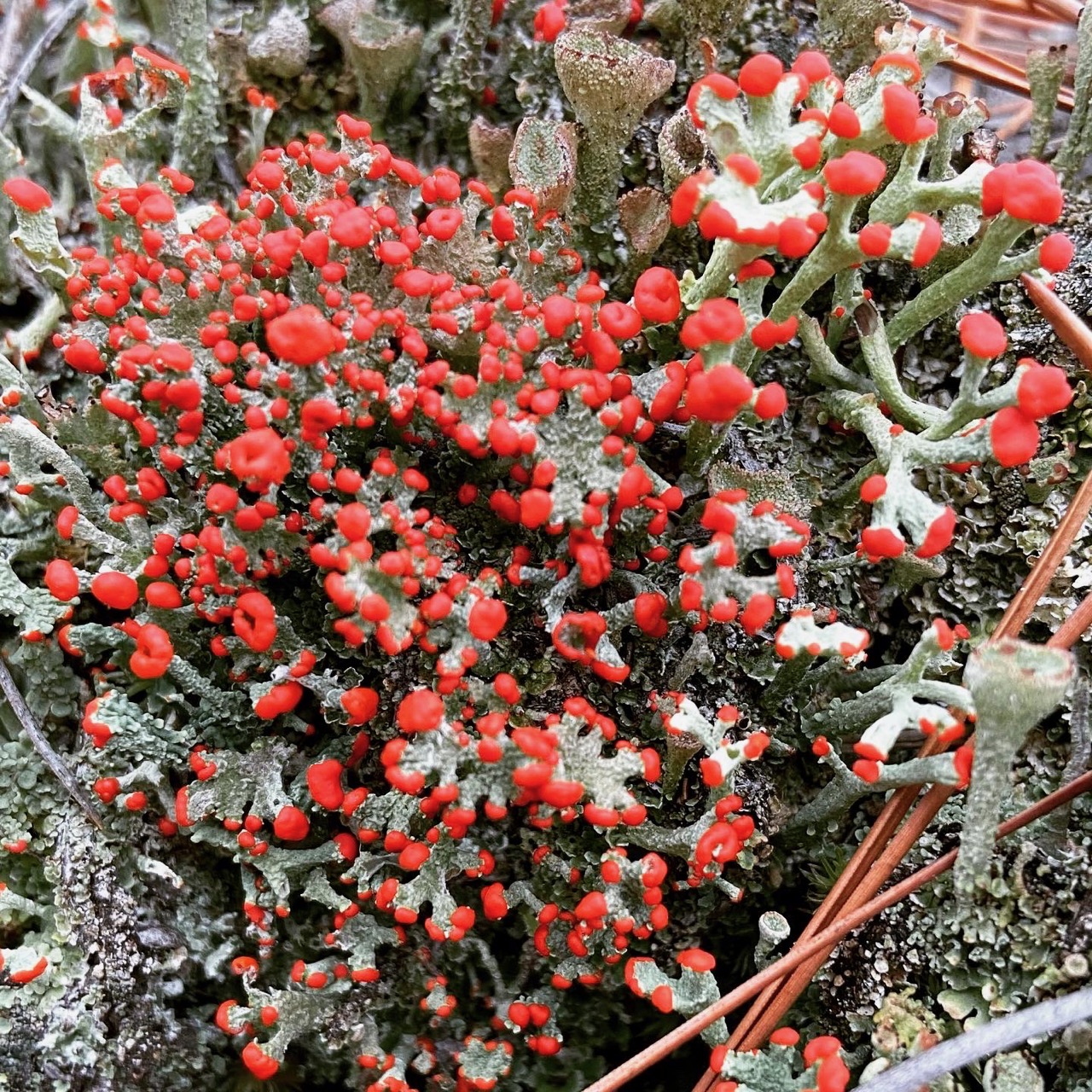
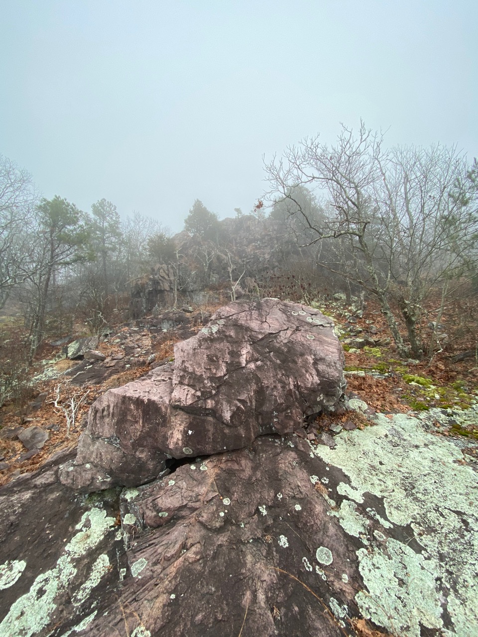
An excursion creek-whacking the shut-ins, and then climbing the mountainside is a challenging hike. At it’s steepest, the bluff-like rhyolite is nearly 250 feet tall with craggy outcroppings and sheer monoliths. You can make it to the top by working further upstream before starting the climb, exploring the enumerable glades and interesting plant life along the way. The trail is up there somewhere — promise.
It’s also worth walking the established loop trail which incorporates an 1870s railroad grade with some interesting history. The Iron Mountain Railroad used this route as a mountain pass connecting Big Creek Valley with Arcadia Valley. The 2% grade often required trains use helper locomotives to summit “Tip Top”, the aptly named highest spot on the rail line.
Royal Gorge is just a small part of the larger Ketcherside Conservation Area, which is actually a patchwork of lands interspersed with Taum Sauk State Park. Some with established hiking trails and others open to cross country exploration. To reach Royal Gorge drive south from Arcadia on highway 72 for 6 miles.
Nearby attractions include Mina Sauk Falls, Elephant Rocks, Marble Creek Shut-in and Crane Lake Shut-in.
