County: Iron County, Missouri
Nearest City: Caledonia
Trailhead: 37.6323, -90.8285
Distance from downtown STL: 2 hours / 95 miles
Trail Length: 8 miles (bushwhack)
Trail Format: Out and back, point to point
Land Management: Bell Mountain Wilderness Area
Camping: Primitive dispersed camping
Shut-ins Location: 37.6233, -90.8607
Watershed: Black River
Trail Maps:
8.5 x 11 PDF
8.5 x 11 JPG
GPS Track: (How to use GPS on your phone)
Shut-in Creek GPX


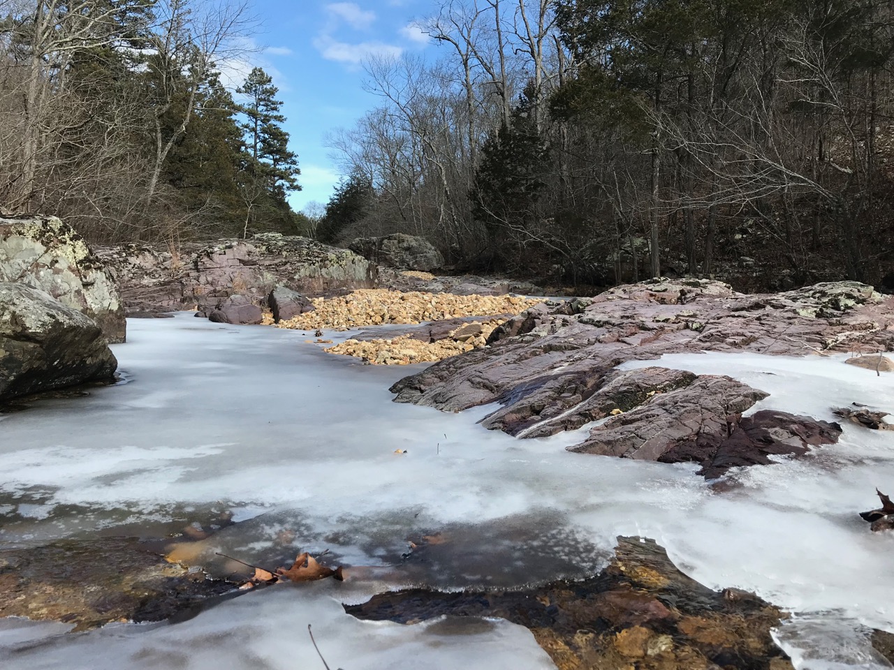


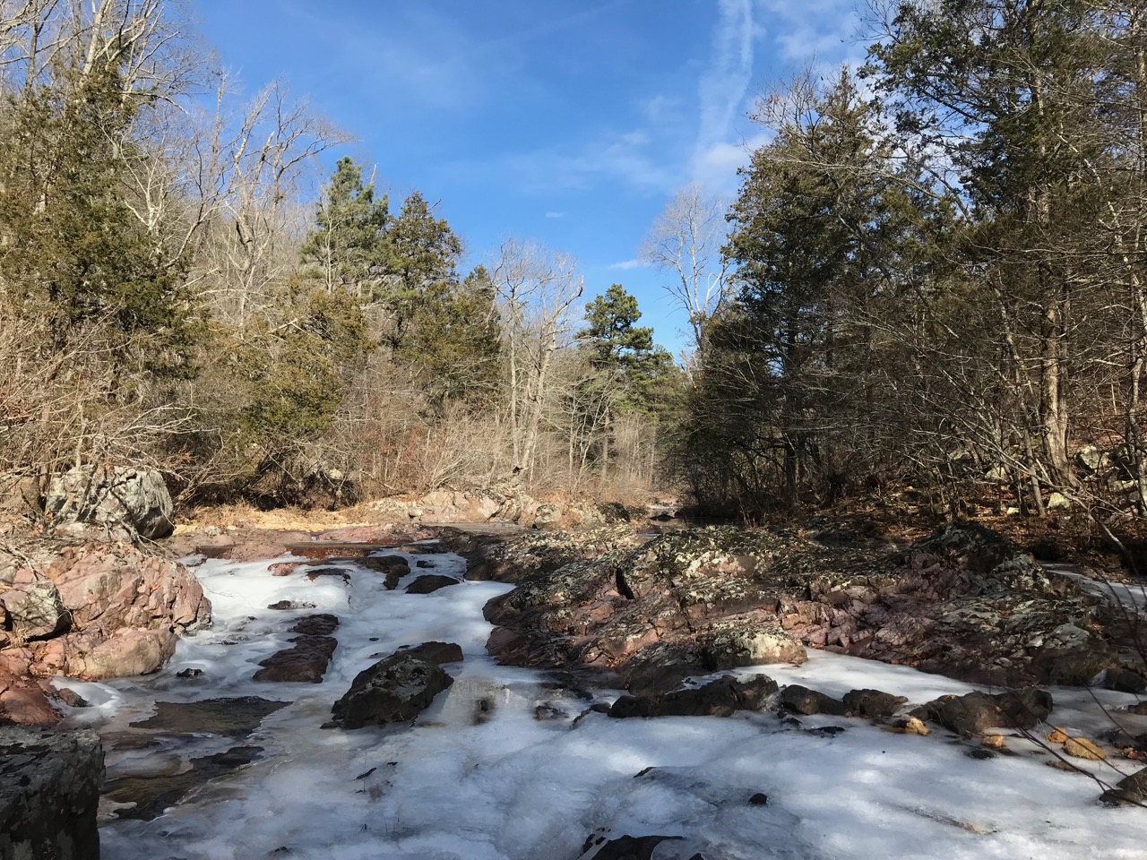
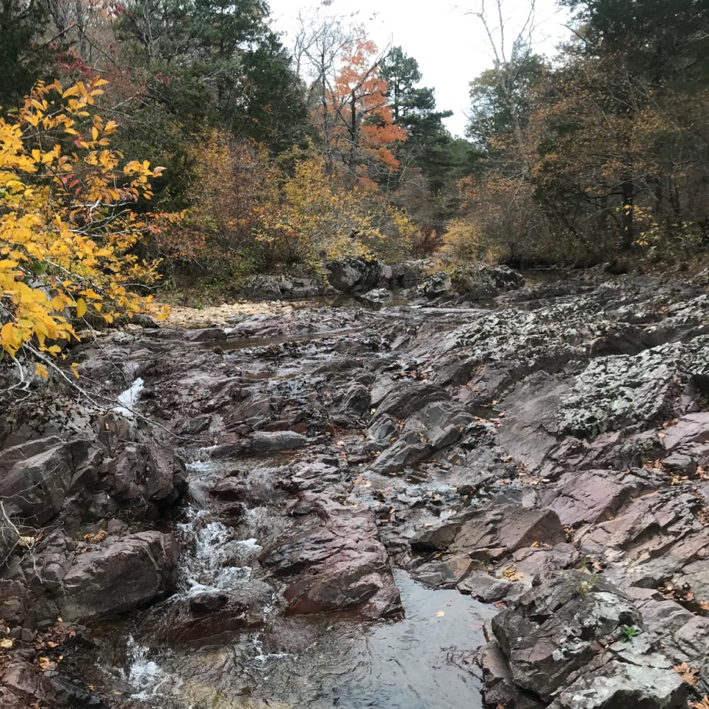
Bell Mountain is one of the most popular backpacking destinations in the state. It’s rock fortress towers above a deep chasm with sweeping views to the east which make for a stunning sunrise. Shut-in creek below flows through some of the most rugged backcountry in the state. It’s a 600 foot loss in elevation to reach the bottom in a little over 1/3 of a mile. The opposite bank is a near mirror image of Precambrian volcanic rocks.
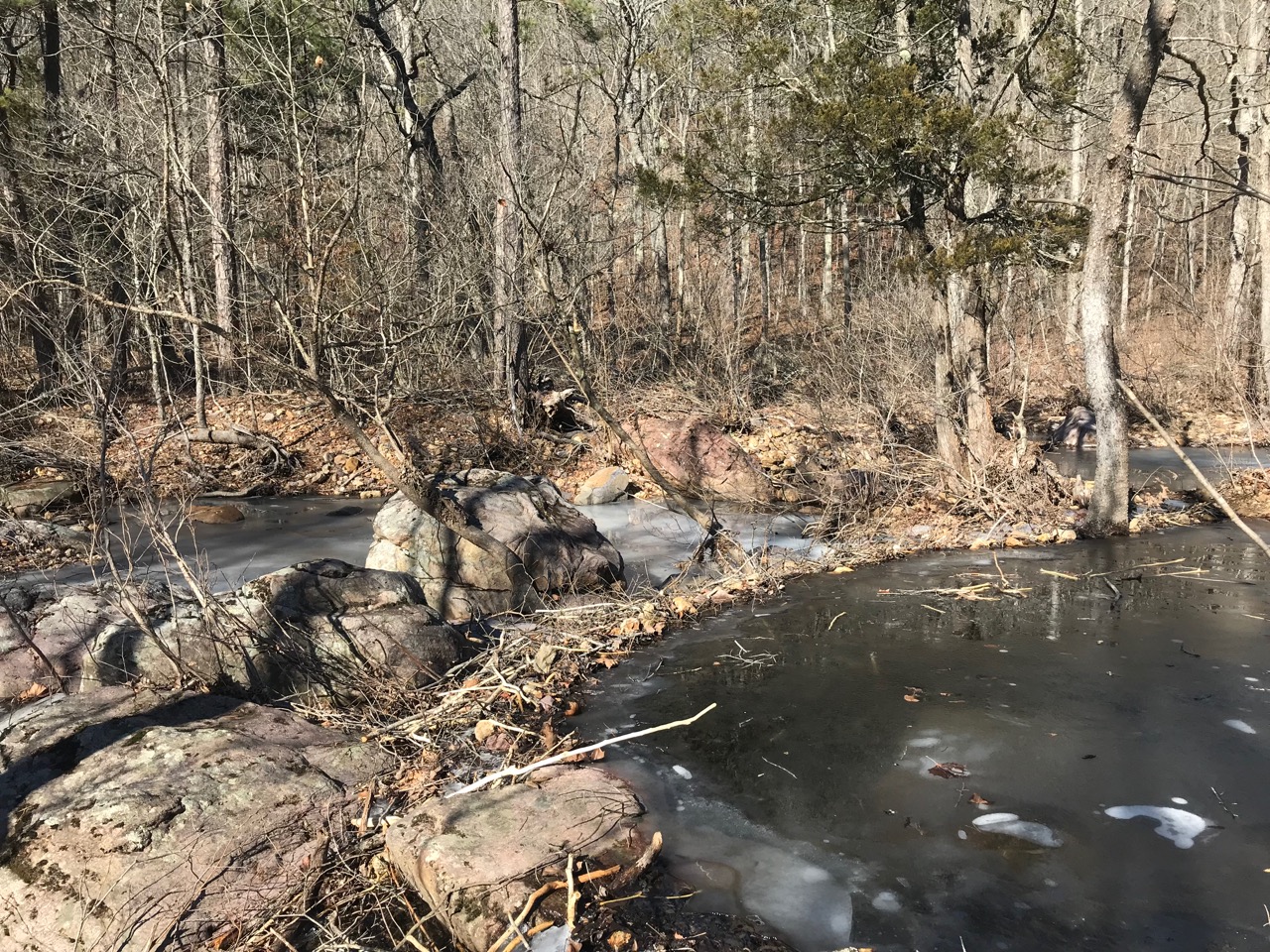
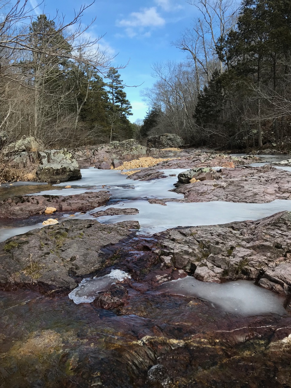
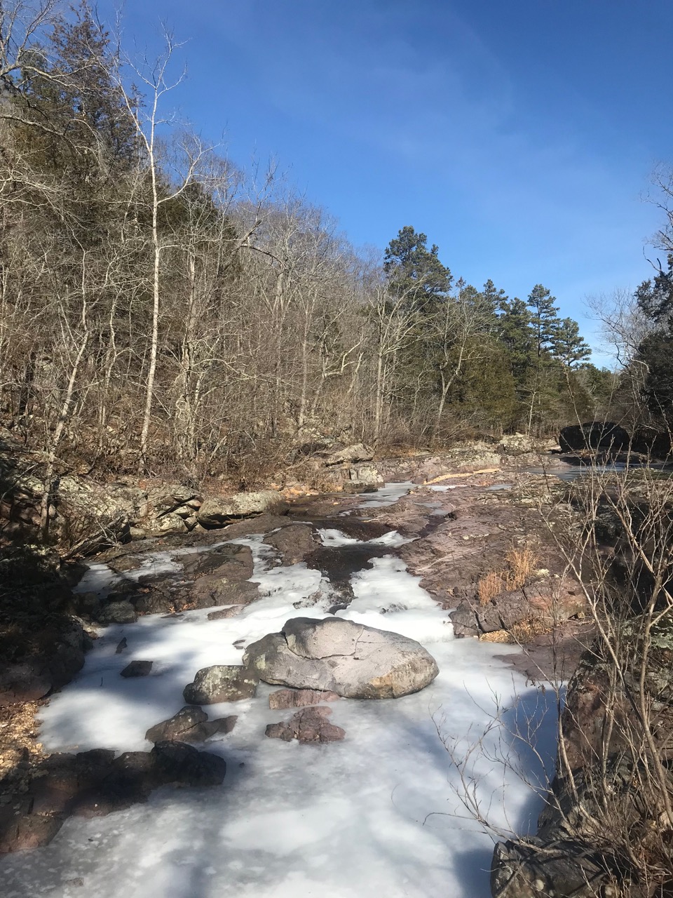
The topography here is the textbook definition of a shut-in stream — a wide valley that becomes exceptionally constricted before broadening again to its upstream width. Porphyritic granite formations in several locations form beautiful cascades along the creek.
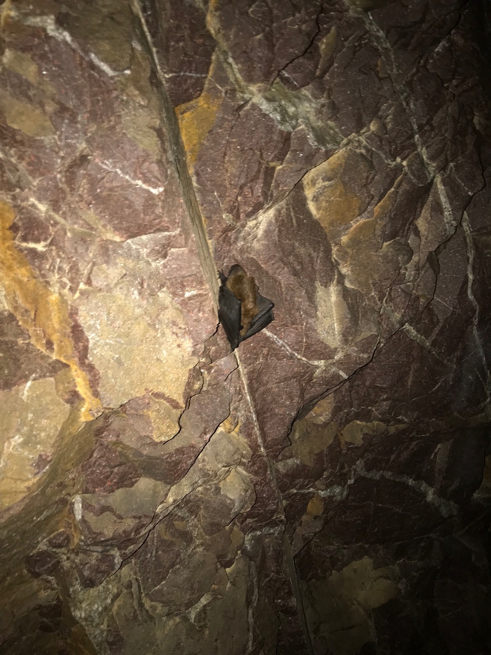
There’s also an old narrow mine (37.6225, -90.8613) on the west side of Shut-in Creek. The mine was opened into the quartz veins of Bell Mountain containing lead, copper and trace amounts of silver. However the mine was abandoned, and subsequent surveys of the area only found resource potential in the form of low grade lead-zinc deposits. Bring a headlamp to explore, but be prepared to get your feet wet — and watch out for bats!
The shut-in can be reached by hiking down from either Lindsey or Bell Mountain. You’ll want to take an approach that avoids the steepest area, as there are many sheer drops. The trailhead on Lindsey mountain has a great little car campsite and the aptly name 2 Mile Road is kept in surprisingly great shape. If you have the time for additional exploration the summit of Lindsey has some interesting formations as well.
You can reach Lindsey Mountain trailhead by taking forest road CC off Highway A, .5 mile south of it’s junction with Highway 32. Continue on CC past the Bell Mountain North Trailhead for a total of 4.5 miles before taking a final right on 2 Mile Road. The Highway A trailhead of the Ozark trail is another option to access the wilderness area.
Nearby attractions include the James Creek Tributary Shut-in, Enough Shut-in, Cub Creek Shut-in and Johnson Shut-ins.

does anybody know how far from the actual creek, the cave shaft is. I have not found it yet.
LikeLike
It’s within 20 feet of the creek. The GPS coordinates of the mine are on this post in the description beneath the photos.
LikeLike